SX600abuser
Member
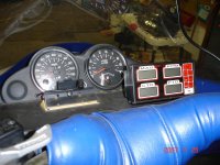
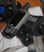
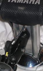
I am starting to think about updating to a GPS for guiding me instead of depending on only my map. My question for you guys who have done it already is how did you mount it and what specific GPS did you use? I want pictures of what you guys did to mount your GPS and I am curious to know what is the "trusted" brand. I am thinking about mounting up an older garmin I have but I am not sure yet....I have looked at the tech pages for the GPS but it didn't really tell me much about types or location styles. I know there are a million ways to mount these and I also know we have many creative people on this site so I want ideas. 

GPS mount
Check out Ram Mounts. They have adapter heads that fit most GPS units. I use a Garmin 255.
Check out Ram Mounts. They have adapter heads that fit most GPS units. I use a Garmin 255.

This is mouted flush into the handle bars. Lowrance 5200 Color GPS with a 5" screen
Another view, or close up. You can buy SD cards with chart maps of Michigan, Wisconsin, and Minnesota. You might also be able to buy some for other states also.
Very easy to use and adjust with gloves on. I like being able to make our own maps of where we have been. Al\

Very easy to use and adjust with gloves on. I like being able to make our own maps of where we have been. Al\

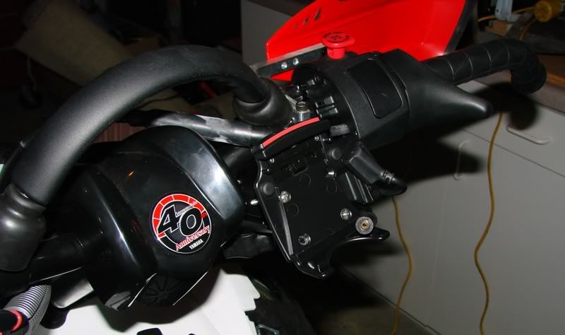
Here's my Nytro and Garmin 2610 streetpilot:
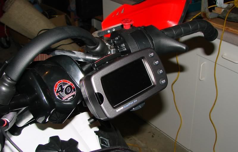
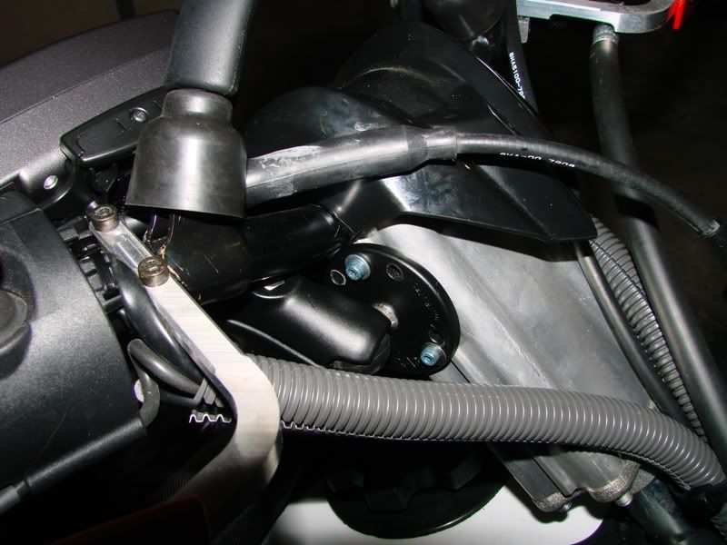
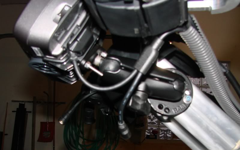
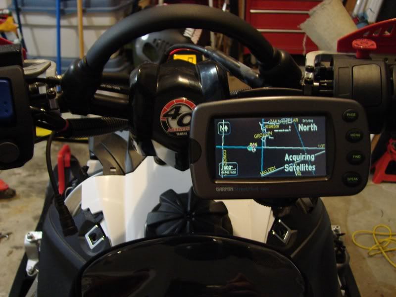


Crewchief, can you upload maps from a SD card on yours?
I've never bothered figuring out how to go right to the card, always just plugged it into the USB. I formatted the PC last year and realized when I was looking for the GPS software (for the map key) that I must have lost it in the last move....Grrrrrr! So now it's stuck with aging maps until I decide to replace it, it weighs a metric ton anyway.
I can easily upload or download maps onto the SD card. I have been working with Vmapping providing trail information along with stop signs, bridges, hotels restaurants ect. Once I download the routes from my GPS memory to the card, I can store many more routes. I have a SD card reader on my computer which I can just plug into and check out the trails. Al
phazernut
New member
Eureka! Found the darn CD so now i can talk to my Streetpilot again. Updated MI map from gpsledmaps.com and ON from a guy at ontarioconditions.com
I'm good to go for this season now!
I'm good to go for this season now!
